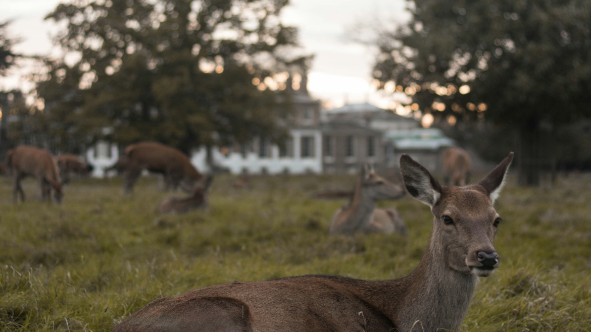
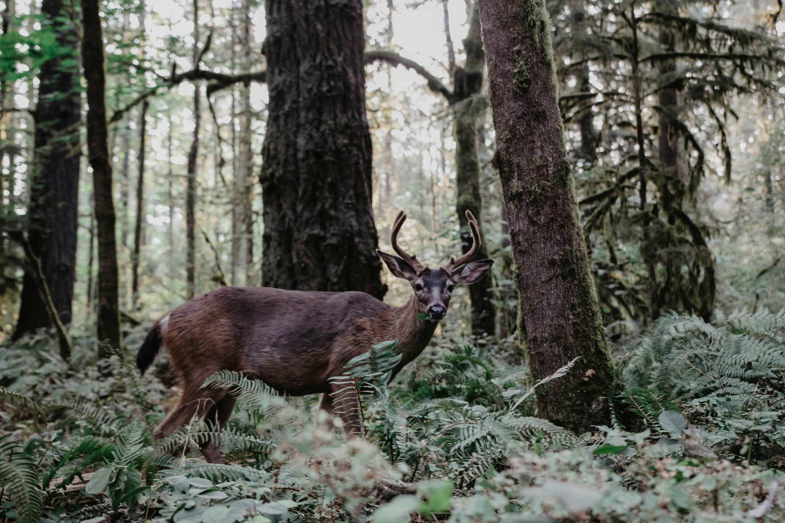
Deer Herd Analysis

Deer herd Analysis

Okatuppa Aerial Imagery revolutionizes wildlife management with their cutting-edge drone technology tailored specifically for whitetail deer population surveys. Leveraging high-resolution aerial imagery and advanced data analytics, Okatuppa delivers precise and comprehensive assessments of deer populations in various habitats. 

Our drones enable efficient and non-invasive monitoring, providing wildlife researchers, land managers, and conservationists with invaluable insights into deer density, distribution, and behavior. With Okatuppa’s innovative approach, land owners can make informed decisions to promote sustainable deer management practices and preserve the delicate balance of ecosystems.

Know Your Herd

Whether for wildlife management, conservation efforts, or hunting planning, their surveys provide invaluable insights into population dynamics and habitat utilization. For those seeking precise data and actionable insights, Okatuppa Aerial Imagery invites customers to reach out and discover how their services can elevate wildlife management strategies to new heights.

Scout

$100
  • Up to 40 Acres, $1.20/Acre up to 500 Acres
  • Deer Population Count
Contact Us

Trophy

$200
  • Up to 40 Acres, $1.70/Acre up to 500 Acres
  • Deer Population
  • Predator Count
  • Geotag Location Of Bucks
  • Photos of Bucks Available (Add. Fees Apply)
Contact Us

*For properties over 500 acres, call for a quote.

*Prices do not include Copyright and License Fees

Leave a comment